Making lateral spread landslide models with glass microbeads…and lots of shaking!
by Philip S. Prince
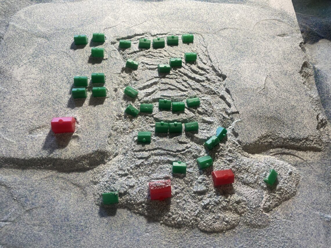
Many aspects of geology are fundamentally related to material movement, but geologists can often only examine the final results of the movement for reasons of physical scale, time, and safety of personnel. Earthquake-related lateral spread landslides are a good example–they create incredibly dramatic landscape damage, but filming one from an appropriate vantage point during intense shaking is nearly impossible. Physically modeling lateral spreads is also problematic because of the soil liquefaction involved; it’s tough to combine dry and wet granular media and keep them (and their properties) separate. An illustrative, and entirely dry, lateral spread model can be made using glass microbeads beneath a cohesive sandpack, which I make by combining sand and flour. During shaking, the microbeads behave like a viscous fluid and deform the overlying sandpack. The images below show one such model I recently made. I decorated the pre-slide landscape with Monopoly houses and hotels, which got caught up in the action.
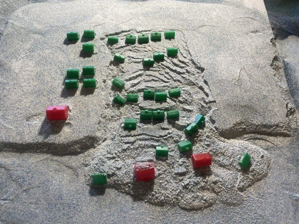
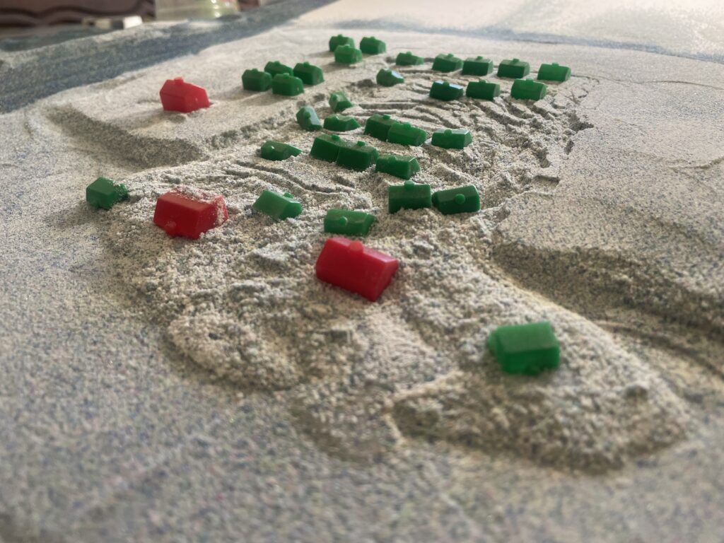
Lateral spread models made in this way are entirely conceptual and illustrative, but they look cool and do reproduce details of ground deformation above a seismically liquefying horizon. A sandpack is constructed over a layer of glass microbeads, and the whole baseplate under the model is shaken to cause the microbeads to “liquefy.” Deformation to the cohesive sandpack above the microbeads is visually interesting, with complex arrays of scarps and rotated blocks, as seen below.
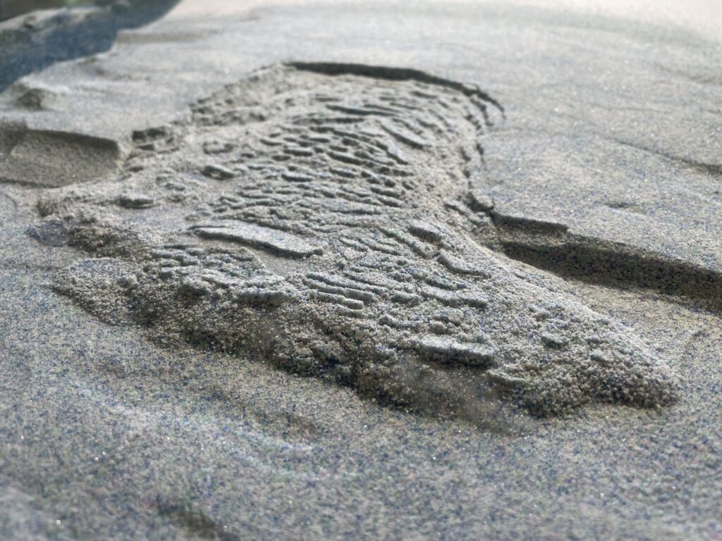
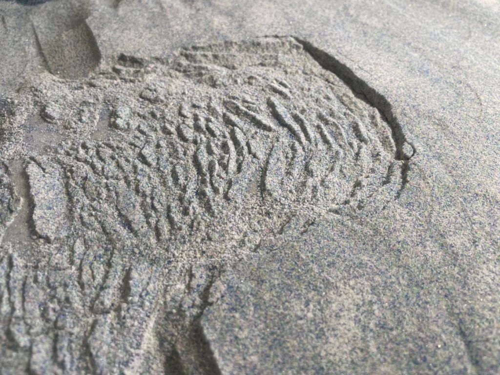
No effort is made to scale the shaking; the model is simply shaken until the microbeads lose strength, presumably due to reduced sliding friction against one another during acceleartion. The in-motion appearance of these model is fun to watch, and is the main thing to take away from this post. The video linked below shows the model above, along with two others. The video shows shaking and failure at 1/2 speed, which is a bit easier to watch.
While the frequency and amplitude of shaking are exaggerated to get the desired outcome, the lateral spreads made using microbeads display some realistic details that are useful for students or non-geologists to see and connect to a formative process. Block rotation and tilted or sinking of structures within the spread is one such detail, as seen below.
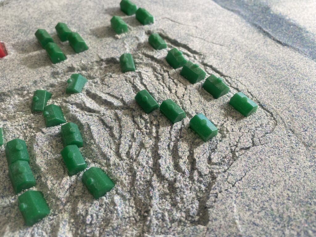
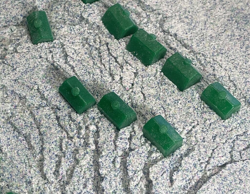
I tried to make these match some of the Turnagain neighborhood images from the 1964 Alaska quake, with acceptable result. The image below is from The Atlantic, I believe.
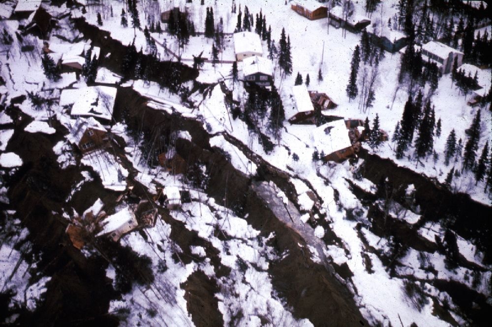
The model lateral spreads also move with gravity and require very, very little slope to do so. Tilting the baseplate only a few degrees will lead to downslope flow. The models shown above used a slightly (3 degrees?) tilted setup and a daylighted microbeads layer (the model starts with a “bluff” below the houses) to create a strongly directional spread. The overall appearance, along with the finer details, can be made to match photographs of real lateral spreads very closely.
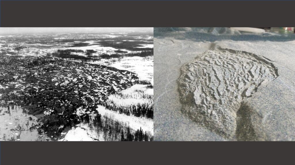
Lateral spreads affecting infrastructure can also be modeled. The experiments shown below induced lateral spreading below a model embankment. Again, with slight tilt or asymmetry, the spread that develops is directional. The arcuate scarps in the model spreads below turned out well.
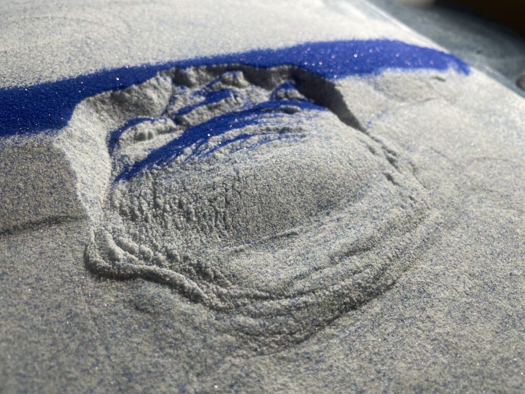
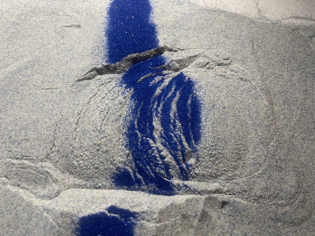
These models confined the microbeads in all directions, and they “sloshed” significanlty from side to side; this movement is easily visible in the video linked below.
The final geometry of these spreads was remarkably flat, with a gently raised toe bulge and equally low slope slide head. Head and toe reaches this equilibrium geometry when the microbeads layer was at its weakest.
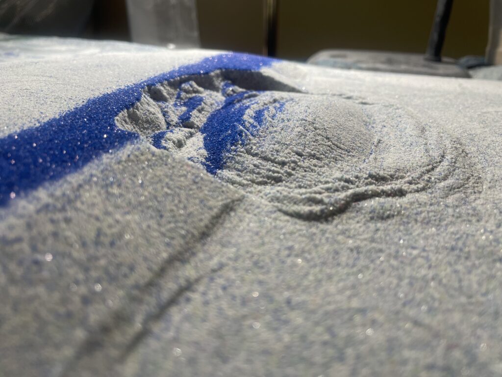
Inducing a lateral spread beneath a symmetrical embankment-type structure with no tilt produced a variety of results, but bi-directional spreading and toe compression are possible. Sloshing was a problem here, too–see the previous video link. Shaking in a single direction meant that the final outcome related to orientation of the embankment to the shaking direction.
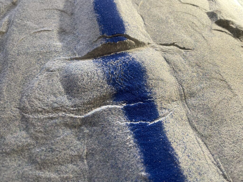
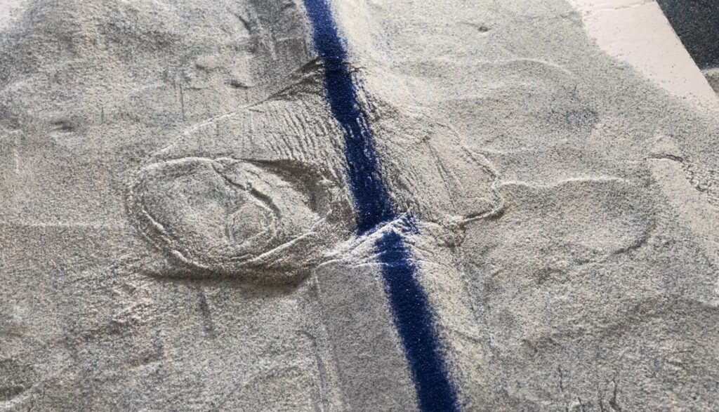
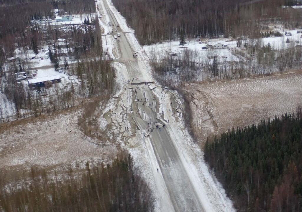
I wanted these models to compare with one of the more widely distributed examples from the 2018 Alaska earthquake, where a road (Vine Road, I believe) experienced a bi-directional spread with two compressional toes. The image below is from the USGS My setup needs more work, but the potential is there…
The obvious drawbacks to these models are the lack of true pore water-induced liquefaction and the exaggerated shaking and sloshing, but these models are easy to set up, easy to break down, and make the connection between shaking, distinct material behaviors, and earthquake/slide-related landforms easy to appreciate. Vibrating the base plate might also produce a good result, but I have not constructed a rig to produce it. If anyone gives it a shot, let me know!


